Data helps identify disease patterns

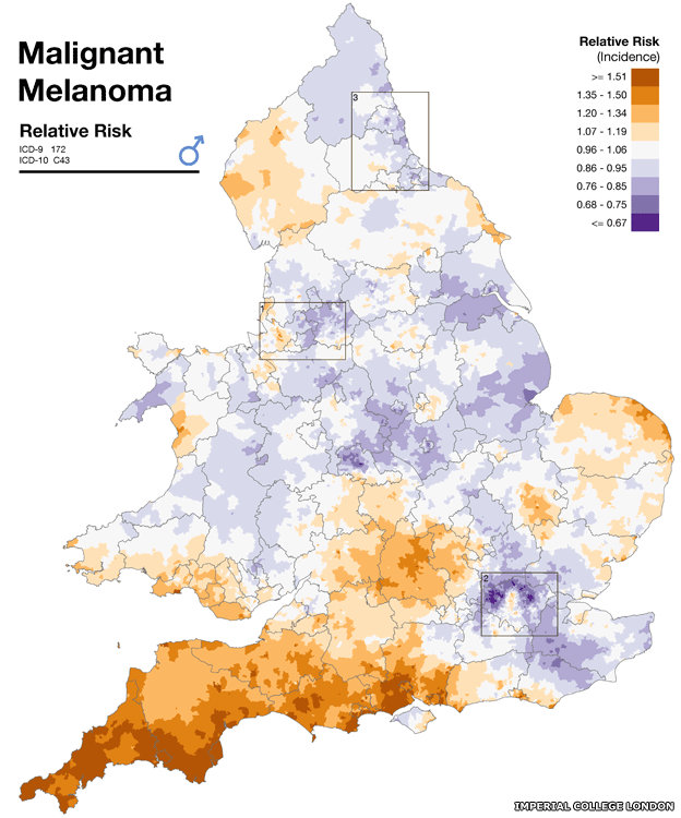
A new online map of England and Wales allows people to enter their postcode and find their community’s risk of developing 14 medical conditions.
Researchers at Imperial looked at 8,800 wards in England and Wales, each with a populace of 6,000 people. They collected data from the Office for National Statistics and from cancer registries for 1985 to 2009. Data was then mapped alongside region-by-region variations in environmental factors such as air pollution, sunshine and pesticides. The data was also adjusted for age, deprivation and to take into account small numbers.
You can access the map here: http://www.envhealthatlas.co.uk/homepage/


